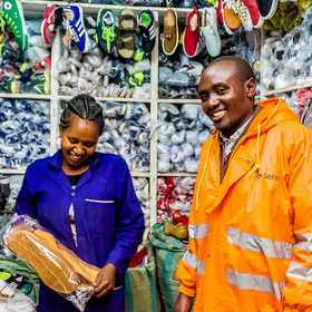
Sendy Logistics Challenge
'/%3e%3c/defs%3e%3cpath fill='%23fff' d='M-120-80h240V80h-240z'/%3e%3cpath d='M-120-80h240v48h-240z'/%3e%3cpath fill='%23060' d='M-120 32h240v48h-240z'/%3e%3cg id='b'%3e%3cuse xlink:href='%23a' stroke='%23000'/%3e%3cuse xlink:href='%23a' fill='%23fff'/%3e%3c/g%3e%3cuse xlink:href='%23b' transform='scale(-1 1)'/%3e%3cpath fill='%23b00' d='M-120-24v48h101c3 8 13 24 19 24s16-16 19-24h101v-48H19C16-32 6-48 0-48s-16 16-19 24z'/%3e%3cpath id='c' d='M19 24c3-8 5-16 5-24s-2-16-5-24c-3 8-5 16-5 24s2 16 5 24'/%3e%3cuse xlink:href='%23c' transform='scale(-1 1)'/%3e%3cg fill='%23fff'%3e%3cellipse rx='4' ry='6'/%3e%3cpath id='d' d='M1 5.85s4 8 4 21-4 21-4 21z'/%3e%3cuse xlink:href='%23d' transform='scale(-1)'/%3e%3cuse xlink:href='%23d' transform='scale(-1 1)'/%3e%3cuse xlink:href='%23d' transform='scale(1 -1)'/%3e%3c/g%3e%3c/svg%3e)
Helping Kenya
$7 000 USD
Completed (over 6 years ago)
Prediction
2180 joined
448 active
Start
Aug 23, 19
Close
Nov 25, 19
Reveal
Nov 26, 19

Tips on how to extract features using open street map and open route service
Data · 11 Oct 2019, 10:26 · 2
This is my first time of working with a dataset that has coordinates as features. I have tried to obtain new features, using only the Train file given by Zindi, from the longitude and latitude by calculating certain distances and bearings. However, I know my score would improve if I find a way of using the additional datasets given by Zindi.
Are there any links or articles you know of which can give me a basic guide to extracting features using the open street map and open route service? Any help, please?
Same issue for me
Same issue here