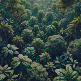
Amini Canopy or Crop Challenge
Helping West Africa
3 000 Points
Completed (~1 year ago)
Classification
Earth Observation
357 joined
80 active
Start
Jan 17, 25
Close
Mar 30, 25
Reveal
Mar 31, 25

Let's continue the conversation - webinar recording
Connect · 15 Feb 2025, 10:29 · 4
Thank you to those who joined the webinar last night. Here is the recording.
The notebook and slides have been uploaded and we look forward to hearing your insights.
Below are some of the questions that were asked last night. Please do share your insights and let's help each other out.
Thank you to Steve and Collins from Amini for sharing their invaluable knowledge!
Question: I get the concept of reflectance, but in the natural environment where there are different materials, eg soil, plants, trees etc Don't the reflectance of these materials bounce off each other? And if so, how do we know confidently how to tell them apart?
The amount of information captured in a pixel (spatial resolution) determines the "major" land cover inside it based on its spectral signatures and various indices calculated from them.
Like I also mentioned at the end, validation has to be done, for example - how can you differentiate a maize plantation and a sugarcane plantation on a satellite image? Only with ground samples for modeling. Or we can use hyperspectral data to discern between objects that almost seem similar
Could you share more resources to deepen the notions presented in this presentation, I'm working on a project currently trying to predict fire prediction using MODIS products etc.
Find books on Remote Sensing or you could use VIIRS fire products (250m) - If you want to learn more on RS: https://appliedsciences.nasa.gov/what-we-do/capacity-building/arset
I would suggest also looking at scientific papers published on fire detection.
Also look at Quality assessment on MODIS and VIIRS - very important, otherwise everything may look like fire
Thoughts on NDVI saturation in dense canopies? Dealing with it?