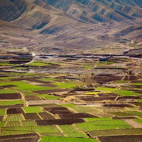
Farm Pin Crop Detection Challenge
'%3e%3cpath fill='%23001489' d='M0 0v6h9V0z'/%3e%3cpath fill='%23e03c31' d='M0 0v3h9V0z'/%3e%3cg stroke='%23fff' stroke-width='2'%3e%3cpath id='d' d='m0 0 4.5 3L0 6m4.5-3H9'/%3e%3cuse xlink:href='%23b' stroke='%23ffb81c' clip-path='url(%23c)'/%3e%3c/g%3e%3cuse xlink:href='%23d' fill='none' stroke='%23007749' stroke-width='1.2'/%3e%3c/g%3e%3c/svg%3e)
Helping South Africa
$11 000 USD
Completed (over 6 years ago)
Classification
Earth Observation
1475 joined
42 active
Start
Mar 04, 19
Close
Sep 15, 19
Reveal
Sep 16, 19

Many fields defined outside of satellite image
Help · 22 Mar 2019, 15:43 · edited 1 minute later · 4
While investigating the data (particularly the 2017-06-20.zip file), I noticed that nearly 10% of the fields in the test and train data shapefile do not overlap with the images provided in 2017-06-20.zip (I suspect the same problem is present with the other raster image files). I have tested in QGIS and a few other programs and come to the same result -- near the South-East of the data a portion of the test and train fields continue beyond the bounds of the satellite image. Has anyone else encountered this problem? Or am I just very confused?
Example field id's affected are 1, 3, 5, 6, 3399, 3246
I have the same issue, anyone have an explanation ?
Anyone have advice for handling these cases?
Ditto! I find training data index values 0:13, 47, 67:84, 158:202, 1482:1505, etc. do not overlap the raster files. Is this possibly an error in re-projecting the shapefile into the same CRS as the images?
I too have encountered this issue. For now, I am simply assigning the same probability value per crop type so I can pass the submission step for these 'error' rows, but will have to find another strategy. I find it hard to believe some of the scores on the leaderboard if everyone is meant to only use the provided data. 8% of the test polygons fall outside of the raster extents.