GEOAI Challenge for Cropland Mapping in Dry Environments by ITU
Helping Uzbekistan, Russian Federation
1 000 CHF
Completed (10 months ago)
Classification
Earth Observation
621 joined
184 active
Start
Jul 02, 25
Close
Sep 29, 25
Reveal
Sep 29, 25

False Negatives in Training Data
Help · 14 Aug 2025, 18:08 · 4
Hola Amigos
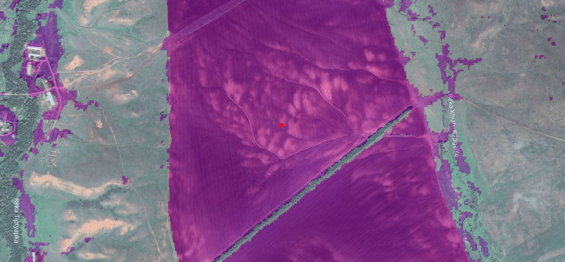
While looking through the data I found some potentially mis-labeled data in the training set. Check out the IDs 451, 464, 473 and 477 from Orenburg_training_samples. The file labels them as 0 but from my view they are cropland. I crosschecked using ESAs WorldCover 10m v200 maps (for 2021).
I just checked a handfull of samples but this makes me wonder if there are also mislabeled datapoints in the test set.
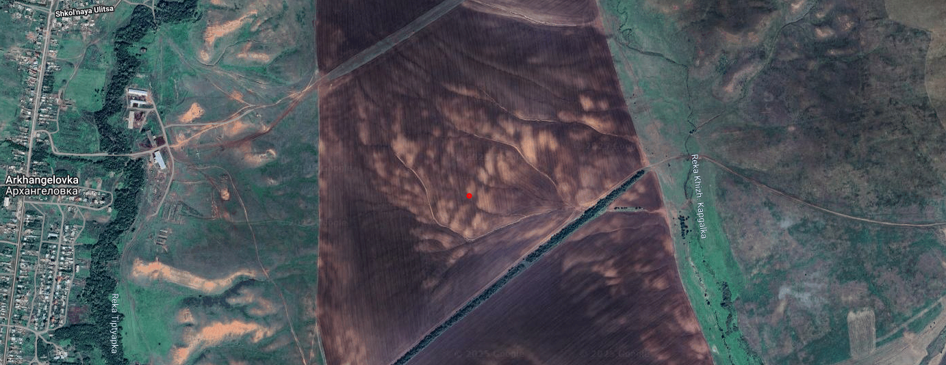
Here an example:
ID: 451
Cropland: 0
POINT: (54.83862 52.03939)
Google Maps:
WorldCover cropland mask:
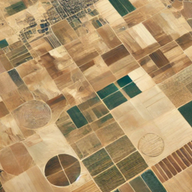
Doesn't really look like a cropland to me😅. How are you able to identify a cropland?
In ChatGPT we trust:
What’s Visible in the Image
I haven't done any form eda yet but are there several images that look like the mislabelled image?
Which IDs then if that's the case?
In ChatGPT we trust🤣