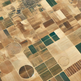
GEOAI Challenge for Cropland Mapping in Dry Environments by ITU
Helping Uzbekistan, Russian Federation
1 000 CHF
Completed (10 months ago)
Classification
Earth Observation
621 joined
184 active
Start
Jul 02, 25
Close
Sep 29, 25
Reveal
Sep 29, 25

Training data labelling question
Data · 29 Aug 2025, 22:03 · 0
Hello. Can anyone explain how the marks for this competition were assigned? A large number of points from the satellite are seen as a freshly ploughed field, but have a 0 mark, and vice versa, some places look like mountains ...., but are marked as crop land. It feels like we're predicting how the person working on this dataset thought
Discussion 0 answers