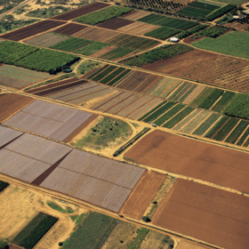
Radiant Earth Spot the Crop Challenge
'%3e%3cpath fill='%23001489' d='M0 0v6h9V0z'/%3e%3cpath fill='%23e03c31' d='M0 0v3h9V0z'/%3e%3cg stroke='%23fff' stroke-width='2'%3e%3cpath id='d' d='m0 0 4.5 3L0 6m4.5-3H9'/%3e%3cuse xlink:href='%23b' stroke='%23ffb81c' clip-path='url(%23c)'/%3e%3c/g%3e%3cuse xlink:href='%23d' fill='none' stroke='%23007749' stroke-width='1.2'/%3e%3c/g%3e%3c/svg%3e)
Helping South Africa
$8 800USD
Completed (over 4 years ago)
Classification
Earth Observation
560 joined
101 active
Start
Jul 05, 21
Close
Oct 03, 21
Reveal
Oct 03, 21

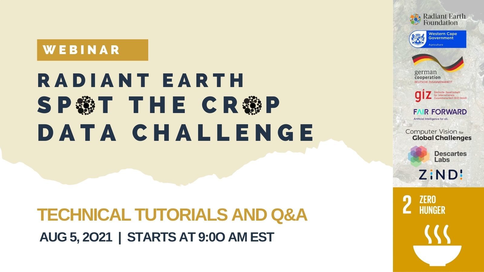
Radiant Earth Spot the Crop Challenge Technical Tutorials + Q&A
Platform · 4 Aug 2021, 08:47 · 13
Are you participating in the #SpotTheCrop data challenge? 👀😁
Join the #SpotTheCrop data challenge webinar to get answers on the competition data. Our #datasherpas will guide you through building a model and tips on downloading & accessing data. 🦾
Thur Aug 5 | 9-10:30 AM EST | 3-4:30 PM CAT
Register now👉https://bit.ly/3lmk2pV
Thank you to those who joined the webinar.
Here is the YouTube recording if you would like to review - https://www.youtube.com/watch?v=JphCl0jOXUA
Thanks for all the info.
In the tutorial you requested that we do not use absolute information such as x or y.
In order to comply we removed all such "absolute" features from our model. At the same time we retained some features that we trust will pass your test but that we are not entirely sure about.
How will you apply this "absolute" requirement?
Are you going to check all models and verify that nobody uses e.g. x and y and whatever else you consider "absolute"? If you find such a feature, will you reject the model?
We assume this is the case and so we submit two models, one that is squeaky clean and one that has some innovative features but that you may reject and hope that, if that is the case, our "clean" model will still be used.
This is a very pragmatic solution but if you can clarify we can do even better so I look forward to hearing from you.
@skaak you can refer to this https://zindi.africa/competitions/iclr-workshop-challenge-1-cgiar-computer-vision-for-crop-disease/discussions/754 and the webinar video, practically no metadata is allowed in any of earthdata's competitions since they want models that generalize well. Using metadata like x,y of any field , the shape of the field or anything similair will only lead to boost your score on this dataset.
Hi Skaak,
Thank you for your patience.
Practically using relative information is ok. So using a feature like distance from a neighboring field which is derived from the absolute x, y is acceptable as long as they only feed the distance to the model not the x and y.
Basically, they are using x, y for feature engineering and the final feature has no notion of absolute location (meaning where the point is on the Earth). So it's good.
@ZINDI could you please refer to the time stamp 21:29 of the webinar video (https://www.youtube.com/watch?v=JphCl0jOXUA). Over there, it is clearly specified that even distances are not to be used and that includes incorporating neighboring field information into the model. Only temporal phenology and spectral bands were to be used as predictors in the model. Most of us used that only as we followed the video.
Also if in region 1, crop X is growing with certain latitude & longitude, if we go to region 2 the values of latitude and longitude won't make any sense (as explained in the video). Similarly in region 1, if crop X is grown in close proximity to each other, there won't be any guarantee that in region2, the same proximity distance could be used as a feature. Maybe in region2, the fields could be more spread out or concise. The only thing which will help us to identify the crops is the information about the crop itself & not the neighboring area(again mentioned in the video). If neighboring information is to be considered, will the model generalize ??
I don't know why at the last moment rules are changing when it is clearly specified in the video not to use any geospatial location information in any way.
If the requirement involved using relative information from coordinates, it must be specified in the very beginning as it was asked at least twice in the same video as to whether we can use it or not and in both the times it was clearly told not to use it in any way.
Kindly reply asap.
Thanks
I would like to add one more actor in this project that most of us forget - the farmer. Assume that we were farmers and we had to choose which plants to grow. How would we make our decision? Of course, we have to consider many aspects: the market, the land / environment and our expertise. If most people in our village grow corn, should we grow rice?
The purpose of this competition is to have a solution that can predict the crop types in general. So according to me, as long as our models can predict for a totally new region it should be fine. Of course, if we have more information from that region then our models should also profit from that.
If you look at the time stamp mentioned above, it was clearly mentioned that if a farmer prefers to grow rice or Barley, it will be all upon him. He can prefer to grow rice, some may prefer to grow Barley. Our model should not be affected by it. I am just saying what was spoken in the webinar. Check timestamp 21:29.
We just want clarity from @ZINDI if we can use the geospatial features or not. In the webinar they refused. Now they are saying yes, so we want to know which one of these is true.
"Of course, if we have more information from that region then our models should also profit from that." agreed and we should use it but the issue is, in the webinar, they told us not to use it. That's what we are seeking clarity about.
To predict for a totally new region,if we want to understand what other people are growing in the village we would need ground truth which is a very expensive task. The purpose of building a model is to make a generalizable solution without depending on ground truth in future
@Zindi agree with you, I hope Zindi take this into considration, in this case the model will not generalize even for South Africa if the farmes for the next year decide to change the crops because the model does not rely on the characterstics of the crops, and it depends on village or what the farmers plant at that year. 'It likes model for one year'
@ZINDI Coordinate related features werent the only things they even asked us not to use. pixel based classification was also excluded..
are some rules being laxed for some reason?
Seems that each team understood the rules differently.
Note that Zindi allowed to use GEE https://zindi.africa/competitions/radiant-earth-spot-the-crop-xl-challenge/discussions/6996.
The allowed is extracting the data using GEE (s1&s2) instead of download them from radiant hub.
@MOTO congrats on placing first on the private leaderboard at the end of the competition. Maybe we all heard differently from the technical webinar provided by the host.
lets all wait patiently for the sealed leaderboard..