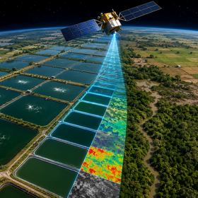
GeoAI Aquaculture Pond Identification Challenge by FAO and ITU
1000 CHF
~1 month left
Data Analysis
Classification
Feature Engineering
GIS
995 joined
344 active
Start
Jun 08, 26
Enrolments close
Aug 07, 26
Close
Aug 16, 26
Reveal
Aug 16, 26


Clarity on External Data Usage
26 Jun 2026, 17:35 · 1
Hi I just joined, wanted some clarity on what data we are allowed to use. The compeition rules say this:
Only freely accessible satellite data may be used
You may use only the datasets provided for this challenge
The first seems to imply that satellite data outside of the competition data set is allowed, as long as it is freely accessible. But the second line explicitly states that only the competition dataset is allowed to train our models.
Are we allowed to use external datasets if they are freely accessible? Or can we only train our models on the provided data?
Good catch - those two rules are in tension and we should clarify. For this challenge, only the provided dataset may be used for training. The rule about "freely accessible satellite data" refers to the source of the competition data itself (Sentinel-1 and Sentinel-2 imagery via Copernicus), not a permission to bring in external datasets.
The practical reason is that we have not provided latitude/longitude coordinates with the data. Any attempt to retrieve additional satellite imagery for these locations would require knowing where the samples are, which is not information available to participants. The challenge is designed to be solved purely from the spectral and radar band values provided.
We will update the rules to remove the ambiguity. Thanks for flagging this.