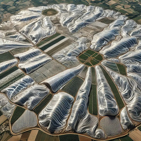
GeoAI Agricultural Plastic Cover Mapping with Satellite Imagery by ITU

Helping Italy
1 000 CHF
Completed (over 1 year ago)
Prediction
366 joined
78 active
Start
Jun 12, 24
Close
Nov 11, 24
Reveal
Nov 11, 24

Test regions
Data · 9 Sep 2024, 16:46 · 1
The top 10 needs to provide this: "The bi-weekly spatial distribution of the agricultural plastic covers in all the three test regions during 2023"
My question is, where are the 3 test regions ? Do we simply go with the test point locations ? Or should we create a raster at X resolution covering the 3 regions ?
The data through GEE also doesn't seem to be available (Someone else already reported it).
Answering my own questions here...
The data within GEE is available now and that will be used for testing. I suspect we need to generate 24*3=72 rasters for the final evaluation after the competition ended.
The GEE data doesn't contain any rasters for the training data.