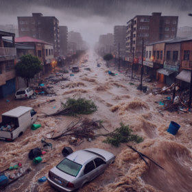
Inundata: Mapping Floods in South Africa
'%3e%3cpath fill='%23001489' d='M0 0v6h9V0z'/%3e%3cpath fill='%23e03c31' d='M0 0v3h9V0z'/%3e%3cg stroke='%23fff' stroke-width='2'%3e%3cpath id='d' d='m0 0 4.5 3L0 6m4.5-3H9'/%3e%3cuse xlink:href='%23b' stroke='%23ffb81c' clip-path='url(%23c)'/%3e%3c/g%3e%3cuse xlink:href='%23d' fill='none' stroke='%23007749' stroke-width='1.2'/%3e%3c/g%3e%3c/svg%3e)
Helping South Africa
$10 000 USD
Completed (over 1 year ago)
Classification
1342 joined
314 active
Start
Nov 22, 24
Close
Feb 16, 25
Reveal
Feb 17, 25

Location shape and area
Data · 31 Dec 2024, 14:25 · 1
It's stated in the data description that "For each location the CHIRPS precipitation data has been aggregated over a 5km radius." Does that mean each location is essentially a circle with a 5 km radius? It would be nice to calculate the rainfall volume for each location as an additional feature for the model, but we'd need the area of the location to do so.
Thanks for the help!
Hi @grattN23,
Aggregating the data over a 5km radius means that the data point (CHIRPS precipitation shown) is obtained from values collected over a 5 km radius in this case. Suppose for example that you take the average height of men/women in a given area. You could decide to collect data over a 5 km radius and aggregate them by taking the mean for example.